
Chester County Neighbors by Block
Public records can describe a block in several narrow ways. The county map can establish the parcels around an address, roads, municipal lines, and other geographic layers. A Recorder document can establish that a recorded transfer or plan concerns a particular parcel. A formally requested election list has its own statutory field limits. Historical maps and directories can add a dated snapshot. None of those sources is a complete household directory, so the results should be understood as parcel and record context, not as a claim about everyone at a nearby address.
| Block source | What it can show nearby | Access and boundary |
|---|---|---|
| ChescoViews parcels | Adjacent map parcels, roads, boundaries, layers, and selected-feature context | Free map with documented manual pan and Identify tools; no promised radius tool |
| Assessment information | An available assessed owner and parcel relationship for a selected feature | Confirm the live fields; an ownership relation does not identify all people at a site |
| Recorder records | Recorded transfers, plans, and legal descriptions for a neighboring parcel | Search each parcel, party, or UPI separately; documents describe title, not households |
| Voter Street or Walking List | Statutorily defined registered-voter information in a street-list context | Formal election request; ballot choices are not included and sensitive fields require care |
| Historic maps and directories | Dated owner, address, or street context | Verify title and year; the evidence is historic and incomplete |
| Community organizations | Public meeting or contact information when an organization chooses to publish it | Publication of a finding aid does not make a membership roster public |
That division matters. A parcel owner may be a trust, an estate, or another recorded party. A correspondence address, if a live public screen displays one, can serve a tax purpose and can differ from the parcel location. Use each result as one record fact, then confirm it with the custodian that keeps the underlying record.
Chester County Neighbors in ChescoViews
ChescoViews is the county's free, read-only parcel and map interface. It accepts an address, owner name, UPI, PIN, street name, municipality, or street intersection. For a block question, search the target address, let the map center on its parcel, then pan or zoom through the surrounding parcel outlines. The County documents roads, parcels, municipal boundaries, subdivision, aerial, and ZIP layers, so the same view can place a nearby property in its physical and jurisdictional setting.
The County's ChescoViews FAQ shows the documented search and map controls used for this block workflow.
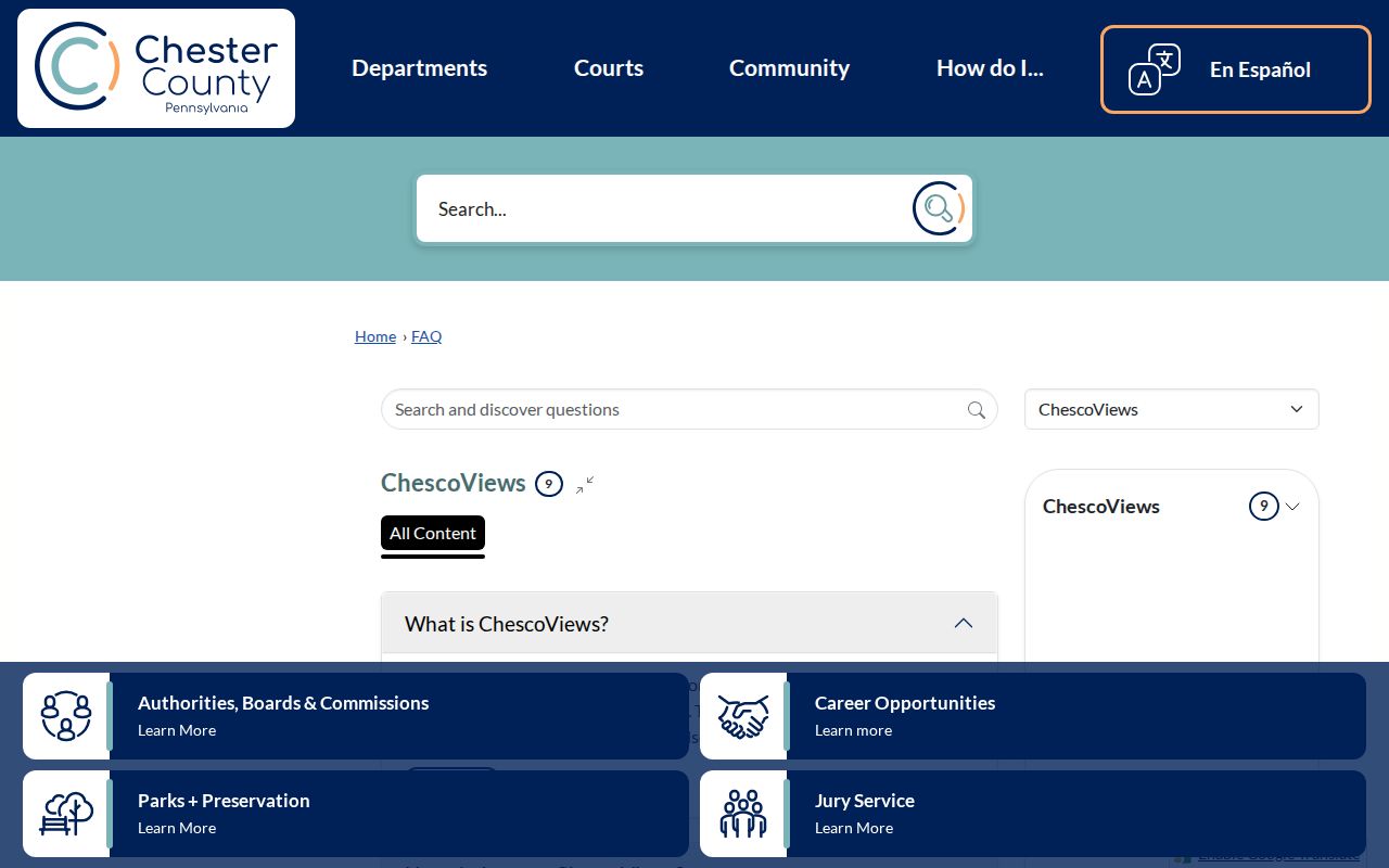
Use the image as a guide to the tools, then work from the live map rather than assuming every selected feature carries the same dynamic fields. The County says selected features are outlined in red and multiple selected items are zoomed to a combined extent. That behavior helps compare parcels without estimating where one boundary ends and another begins.
Note: ChescoViews documents manual map browsing and Identify, but it does not promise an automated adjacent-parcel, buffer, or radius search.
Chester County Block Parcel Keys
Keep the parcel identifiers as you move across the block. UPI means Uniform Parcel Identifier, and PIN means Parcel Identification Number. Both are local property keys that can help distinguish one lot from another when an address or owner name is common. A situs address is the physical location of land. It is different from a mailing address, which is only a correspondence route when the live public record shows it.
- Parcel
- A mapped unit of land used for county assessment and location work.
- UPI
- The Uniform Parcel Identifier, a strong Chester County key for carrying a map result into land-record research.
- PIN
- A Parcel Identification Number, separately supported as a ChescoViews search key.
- Legal description
- The deed-level land description, plan reference, lot, block, tract, or book-and-page detail that identifies the conveyed property.
Those keys are especially useful across Chester County's 73 municipalities. The countywide systems can identify the municipality, but permits, zoning, certificates of occupancy, and code records belong with the municipality where the parcel sits. Ask that local custodian for the public portion of a dated address file rather than assuming a countywide permit database exists.
Map a Chester County Neighbor Block
Use a repeatable sequence for the immediate block. It starts with a visible parcel and moves through individual public records. This is different from a full named-street research chain because it focuses on parcels nearest the address and does not treat the map as a people list.
The official ChescoViews parcel viewer shows the map environment used to place a block in parcel, road, and jurisdiction context.
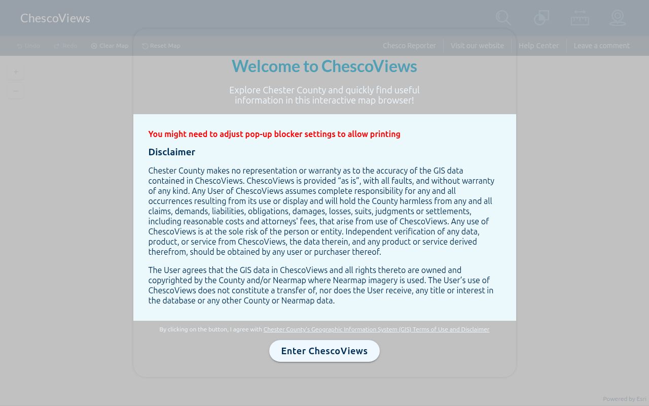
Parcel outlines and the Identify control support a careful comparison of selected features. Keep each result separate, because nearby lots can have different identifiers, municipalities, and recorded-document trails.
- Search the starting address in ChescoViews and record the municipality, UPI or PIN, and any visible land-record context.
- Pan or zoom to a parcel that touches or lies nearby, then use Identify on that feature instead of guessing a neighboring address.
- Repeat for each parcel of interest, retaining each separate UPI or PIN and the map context that explains its position.
- Search the Recorder's Records Search for the relevant party, UPI, document number, or book and page, and compare the legal description to the parcel.
- For address-specific municipal files, direct the request to the municipality identified in the map and request only the public record portion.
The chain is address to parcel, parcel to UPI or PIN, and then UPI or document reference to a recorded instrument. It is not proof of a present household. For a whole road's address-record trail, the Chester County street directory follows a broader street-by-street method.
For a recorded-document image, use the current Recorder route for material recorded after 1993 and the linked IQS historical path for material before 1994. The Recorder Search Library is the in-person bridge when an online image is not available: it has 1984–1993 microfilm and E-Film workstations for Book A1 through 1984. County Archives adds the early grantor/grantee index and digitized deed books. Around the 1993 and 1994 handoff, search both systems and verify the original image.
Chester County Neighbors and Voter Lists
Pennsylvania uses two distinct voter channels. The Commonwealth's Find Voter Registration Status service is for a voter checking personal registration, not an open people lookup. Street-level public information follows the separate Request for Voter Lists form and election-law process. The form cites 25 Pa.C.S. §§ 1403(c), 1404(b)(1), plus 4 Pa. Code §§ 183.13(c) and 183.14(b).
| Request type | Officially listed fields | Practical limit |
|---|---|---|
| Street List | Name, residence and mailing address, party, active or inactive status | A prescribed public-list request, not a self-service search |
| Walking List | Street-list version without mailing address | Does not include ballot selections |
| Public Information List | Name, residence and mailing address, date of birth, date last voted | Use sensitive fields carefully and only through the formal request path |
Chester County Voter Services handles local election help at 601 Westtown Rd., Suite 150, West Chester, PA 19380, by phone at 610-344-6410. The state form also requires requester verification and certification. A list result records voter-registration information in the selected category. It does not establish every person on a block, confirm a person's current presence, or reveal how anyone voted.
Historic Chester County Block Context
Older block research works best as a dated comparison, not a current directory. The Chester County History Center Library holds local history resources, and its clipping file has more than 150 drawers covering articles from more than 40 local newspapers between 1810 and 1970. The collection guides can be searched by municipality, civic organization, church, school, street, or surname. Those materials can connect a parcel or address to an era-specific lead when title, year, and place are recorded with the finding.
For land context, CCHC's 1873 Witmer and 1883 Breou atlases cover the county's townships and often label property owners. Railroad atlases reach many county areas in the 1890s through 1930s. These labels are useful beside a deed's legal description, especially where a modern delivery address did not yet exist. They should never be turned into a claim of continuous occupancy.
Note: Historic organization references and directory entries are dated evidence, so compare them with the original volume, map, deed, or census record.
Chester County Community Contacts
Chester County research did not locate an authoritative countywide directory of current neighborhood associations or member rosters. That absence is important. The correct public route begins with the target parcel's municipality and with the organization itself only when it chooses to publish meeting or contact information. A historical finding aid is evidence of a collection, not permission to treat a group list as a current directory.
| Chester County History Center West Chester Borough Archives | Its finding-aid material documents borough archival records and a West Chester City Directory item. It is historical material, not a current community directory. |
|---|---|
| Chester County History Center collection guides | Search by municipality, civic organization, church, school, or street for historical community records. Confirm access with the repository. |
| Municipality containing the parcel | Use the GIS-identified municipality for localized permits, zoning, occupancy, and civic-record questions. Chester County does not provide one verified all-municipality directory. |
Commercial people-finding products can be quick but may combine stale, mismatched, or unverifiable information. Official parcel, Recorder, election, and municipal sources are narrower, but they identify their custodian and record boundaries. The better comparison is traceable record evidence versus an unverified profile, not speed versus certainty.
Privacy Boundaries for Chester County Neighbors
A block map cannot legitimately reveal every person who lives nearby. It does not open private utility, delivery, or customer information. It does not make sealed court material public. Protected voter information and actual addresses in protected circumstances remain subject to election and court rules. Chester County court policy also protects information including Social Security numbers, financial-account numbers, driver-license and state-ID numbers, specified minors' information, and abuse-victim contact information in family matters.
Pennsylvania's Address Confidentiality Program, under 23 Pa.C.S. § 6701 et seq., provides eligible participants an alternate mailing address to help keep an actual location out of public records. Do not try to resolve a participant's actual address from scattered records. Court results, voter information, and parcel records all need the custodian's stated privacy boundaries respected.
Lawful use. Chester County block research is for personal, lawful context such as understanding a block, property curiosity, or reconnecting through proper channels. Do not use public information to stalk, harass, intimidate, or harm anyone.