
Finding Chester County Street Records
A Chester County street directory is a parcel-and-document method, not a live listing of everyone on a road. ChescoViews lets a reader locate an address or road segment, inspect the parcel and municipality, and retain a UPI or PIN. That identifier creates a reliable handoff to the Recorder. Property evidence can show a recorded ownership or assessment relationship, but it does not identify all people who may live at the location. The municipality matters because it, rather than one countywide permit office, holds address-specific zoning, building, code, and occupancy material.
Work from the address out. The sequence below separates the land trail from a household claim and preserves an alternate route when a record is not online.
- Search ChescoViews by address, street name, intersection, municipality, owner name, UPI, or PIN.
- Use parcel, road, municipal-boundary, and ZIP-boundary layers to identify the correct property and local custodian.
- Carry the owner name or UPI into the Recorder’s Document Search and Copies route, then verify the original image.
- For older documents, use IQS or the Recorder Search Library rather than stopping at the modern web record.
- For an address-specific municipal file, request the public portion from the municipality; for historical household context, use CCHC directories, maps, census, and newspapers.
Chester County Street Directory in ChescoViews
ChescoViews is the principal address tool for a Chester County street directory. The County documents these search keys: Address, Owner Name, UPI, PIN, Street Name, Municipality, and Street Intersections. A selected feature is outlined in red and the map zooms to it; the Identify control retrieves information for a clicked feature. The map can show roads, parcels, municipal boundaries, ZIP boundaries, floodplains, streams, railroads, subdivisions, aerial imagery, contours, soils, and wetlands. Use those layers to orient a search, not to infer private household facts.
The official ChescoViews interface is the starting point for the street-by-street parcel method.
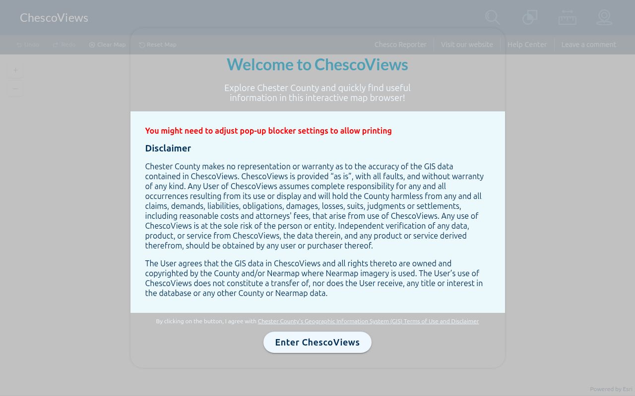
The parcel and municipal layers help a researcher save the right UPI or PIN before looking for a deed or a local permit file.
The County’s ChescoViews FAQ documents the read-only map, Identify tool, layers, and printed-map options.
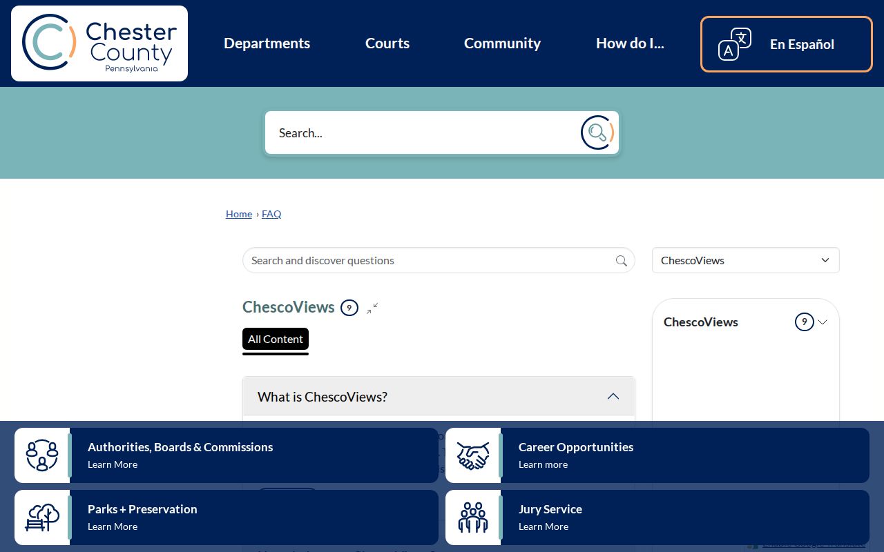
Those published controls are enough to locate a road or parcel, but the static documentation does not guarantee every field visible in a live parcel pop-up.
| Search key | Street-directory task | What it does not prove |
|---|---|---|
| Address | Find a specific parcel | Every member of a household |
| Street Name or intersection | Browse a road segment | A complete list of residents |
| Owner Name | Find an assessment relationship | Current occupancy |
| UPI or PIN | Link map research to Recorder records | That two same-name parties are identical |
| Municipality | Identify permit, zoning, and code custodian | Countywide permit availability |
Chester County Street Address Keys
A situs address is the physical location of the parcel. A mailing address is where correspondence is sent and can belong to an agent, trust, post-office box, or another location. A UPI and PIN are County parcel identifiers that are stronger links between ChescoViews and Recorder research. The legal description, plan reference, and book-and-page citation become especially important where a historical property did not have a modern delivery number.
Read the parcel, not a household roster. ChescoViews can supply land-record context and current or historical assessment information. Its published help does not promise a public field for every value, sketch, exemption, or contact detail, and an owner or mailing field cannot be silently turned into a claim about who lives there.
Chester County Street Deed Chain
From a current parcel, move to the Recorder’s Document Search and Copies route with the owner name, UPI, document number, or book and page. The County’s guide confirms a Description filter for narrowing results. Read the acquisition document for the transferor and transferee, legal description, and printed reference. To work backward, treat the current owner’s acquisition as a grantee event, then search the earlier grantor as a grantee in an earlier acquisition. A document image is the verification point; a name hit alone is not a conclusion.
The County’s Recorder Records Search explains both current and historic record routes.
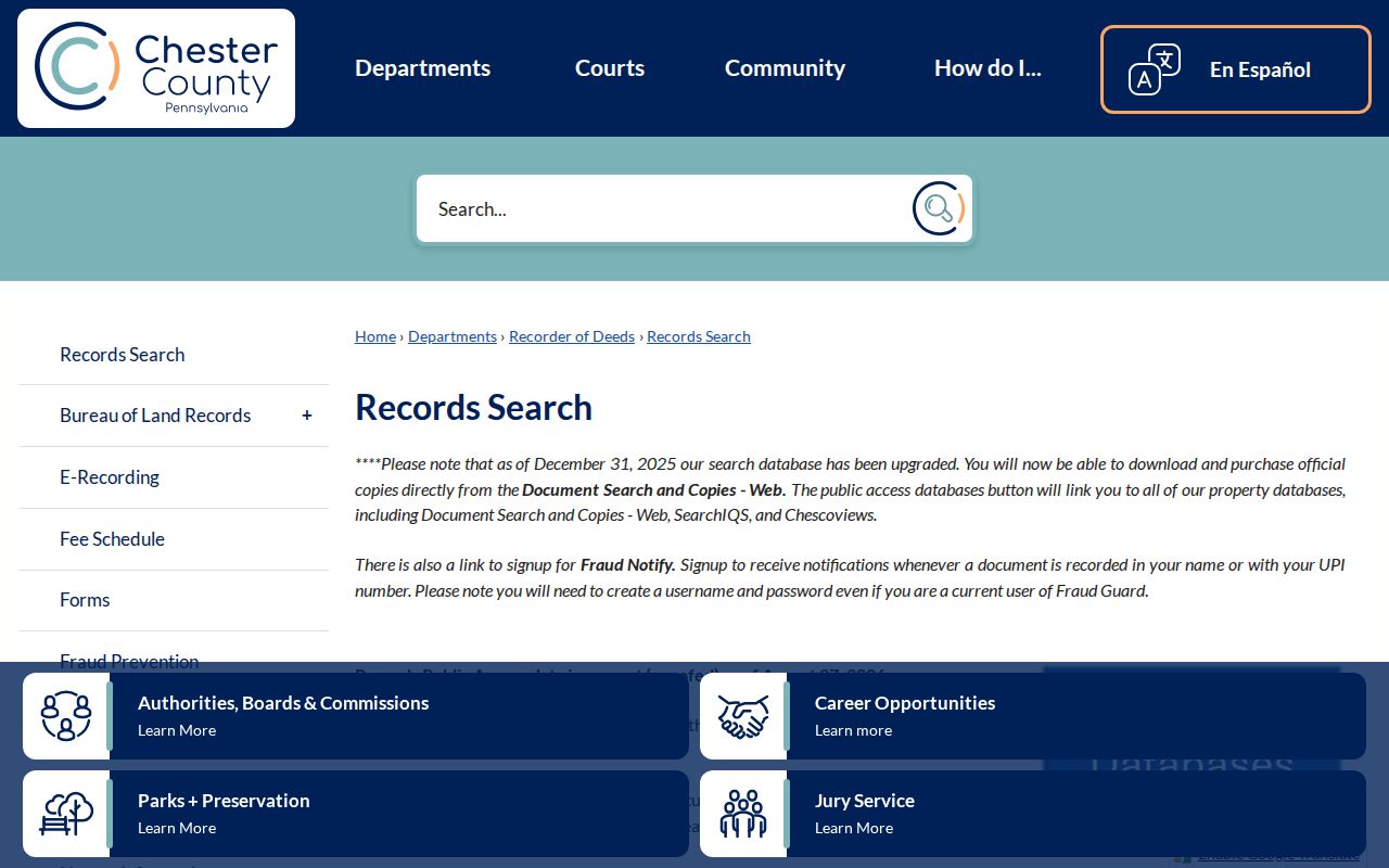
The Recorder says deeds have been recorded since 1688, but early recording dates can lag a transaction and some Chester County conveyances were recorded in Philadelphia. Verify a date and role in the deed itself.
Chester County Street Archive Bridge
The modern record path does not cover every document. The County directs pre-1994 work to IQS, while the Search Library bridges formats with Book A1 through 1984 E-Film, 1984 through 1993 microfilm, and 1994-present web or Eagle Web images. The County’s current Records Search page describes its web images as after 1993, so use both paths around the 1993 and 1994 transition rather than treating either date as a precise dividing line.
The Recorder-linked IQS guest search is the historic document route for a Chester County street directory search.
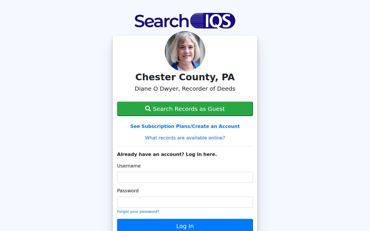
In IQS, choose the record category, then a book and its printed page. The viewer frame number can differ from the page printed in the deed, so check the document corners.
The Recorder Search Library provides the counter-level media route for material that is not convenient online.
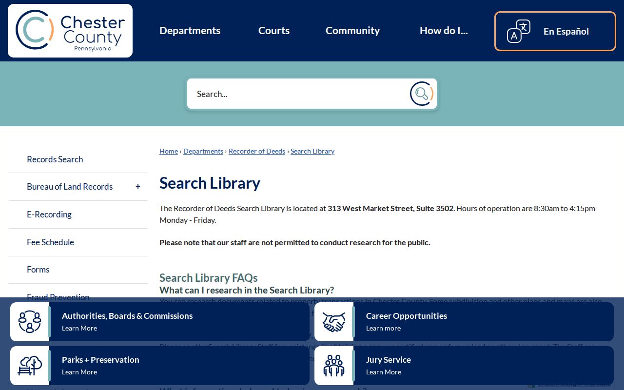
The library is open on weekdays from 8:30 a.m. to 4:15 p.m.; staff can help retrieve a first document but do not perform research for visitors.
Chester County Records Searchable by Street
The records below share an address, parcel, or road connection, but they do not all show the same thing. ChescoViews is the free address and land-context portal. Recorder documents establish recorded party and property relationships. A municipal file may show a request, permit, or inspection record if the municipality holds and releases it. Historical maps and directories can place a property or household at a time in the past. The right street-directory comparison keeps each record set in its own lane.
| Record Set | Keeper | What It Shows | Access |
|---|---|---|---|
| ChescoViews parcel map | County Information Services | Parcel context, identifiers, municipal and ZIP layers | Free read-only map |
| Recorder documents | Recorder of Deeds | Recorded parties, legal descriptions, plans, and references | Modern web, IQS, or Search Library |
| County Archives deed index | County Archives | Grantor/grantee path and early deed books | 1688–1871 index and research route |
| Voter public-list request | State and County election offices | Only fields defined for the requested list type | Formal legal request and certification |
| Municipal permit or code file | Municipality where parcel sits | Public portion of address-specific local records | No countywide portal documented |
The UPI or PIN is the best local bridge from the map to document research. A road name can help locate a segment, but a municipality and parcel identifier make a records request more precise. Where the goal changes from an address chain to one particular person, the Chester County resident lookup guide covers the separate verification method.
Chester County Street Permit Handoff
Chester County has 73 municipalities, and the County’s own records-routing guidance says zoning records, building permits, and certificates of occupancy come from the municipality where the property is located. First locate the situs address in ChescoViews and record the municipality, UPI or PIN, and date range. Then ask that municipality for the public portion of the permit, zoning, code, or occupancy file. A permit can be useful for dating work or confirming a named party’s role in the file, but it is not an occupant list.
If the correct county-held record is unknown, Chester County accepts a focused Right-to-Know request electronically through JustFOIA, by mail or in person at the Solicitor’s Office, or by fax. County agencies normally respond within five business days unless they issue a lawful interim response. An RTKL request cannot turn a protected record into a public one.
Chester County Street Voter Lists
The Pennsylvania voter-status service is for a voter’s own registration status, not an open street-directory query. A different official form governs public voter lists. The State’s Street List is the specific list category that can include name, residential and mailing address, party, and active or inactive status; the Walking List is the related version without mailing address. Those requests follow 25 Pa.C.S. §§ 1403(c) and 1404(b)(1) and the SURE regulations, and the full export form carries its own certification requirements.
Use the formal state and county request channel for any lawful voter-list need. A mailing address can differ from residence, protected voter information must remain protected, and a registration record should not be used to build an informal list of people on a street.
Chester County Street History Clues
For an earlier address, a modern street number may be the wrong starting key. CCHC’s Witmer atlas of 1873 and Breou atlas of 1883 cover all townships and often label property owners; railroad atlases reach much of the County in the 1890s through 1930s. Pair a map label with a deed legal description, historical road wording, census, or directory evidence. Do not assume an old map label converts neatly to a modern delivery address.
Confirmed historical directory nodes include 1884–85, 1886–87, 1896–97, 1932–33, and a West Chester Borough Archives grouping for 1953–64. CCHC’s catalog is the route for locating a particular title and determining whether it has a usable street or reverse section. For the collection and household-reading method, see the Chester County city directory page.
Limits of the Chester County Street Directory
A Chester County street directory cannot prove that every person at an address lives there. A parcel owner may be an entity, trust, or absentee owner, and a tax mailing address can be an agent or post-office address. Private utility accounts are not a public household index, and motor-vehicle records are restricted by the Driver’s Privacy Protection Act. A public docket may itself omit confidential information. If a source does not state a fact, leave it unclaimed rather than filling the gap from a name match.
Lawful use. Use Chester County address records for family history, estate research, document verification, neighborhood property context, or other lawful personal purposes. Never use them to stalk, harass, intimidate, or harm another person.